The highlands of Sumatra end in the north with two ranges of hills. One is in the west which is a continuation of the Bukit Barisan mountains, and the other in the east which is a hilly range starting from Mount Seulawah, an active volcanic mountain located on the northernmost island of Sumatra.
The two ranges of hills end at sea forming headlands, and the lowland between the two ranges is the Aceh valley which is split by the Aceh river.
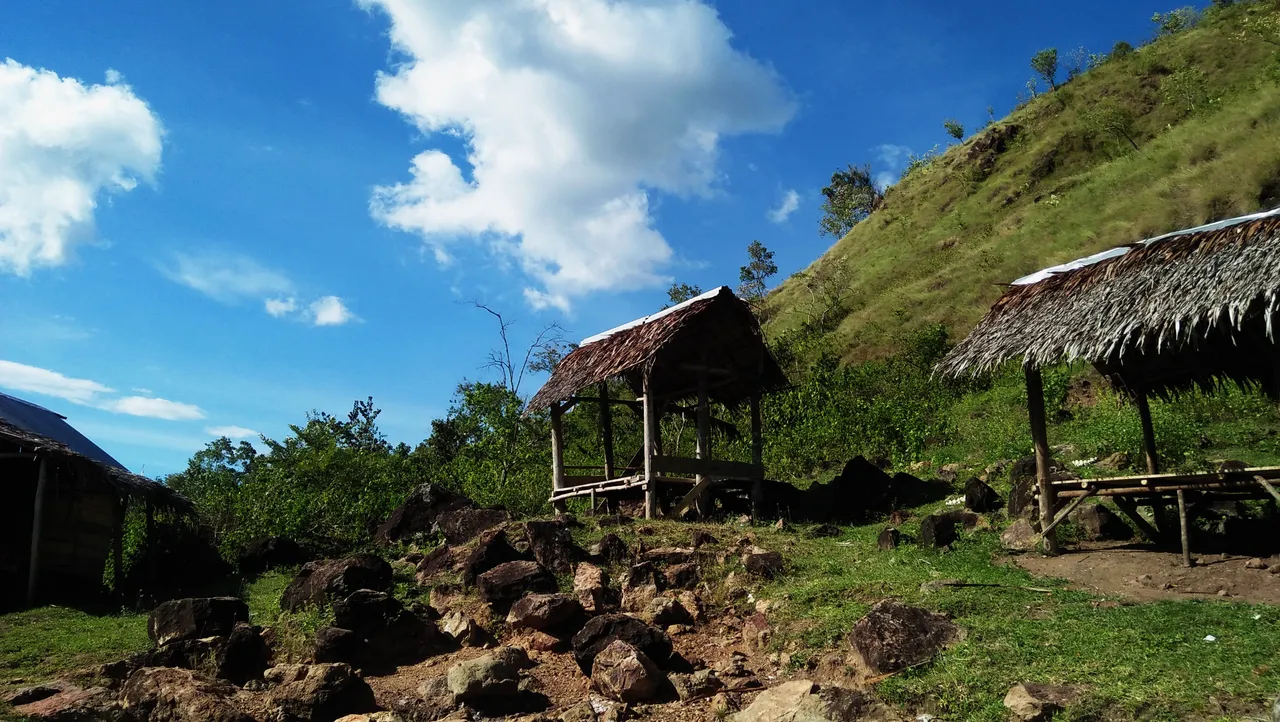
In contrast to the hilly ranges in the west which are generally covered in dense tropical rainforest, uninhabited and there is no traffic, the hilly ranges in the east are areas of grassland, low forest and scrub where there are many settlements linked by various traffic.
In contrast to the hilly ranges in the west which are generally covered in dense tropical rainforest, uninhabited by humans and there is no traffic, the hilly ranges in the east are areas of grassland, low forest and scrub where there are many settlements linked by various traffic.
So, these are pictures of the hilly landscape I took in the eastern hilly range at the northernmost tip of Sumatra. I took these pictures on a trip when I visited a tourist spot in the area where there is a hot spring that rises in one of the foothills there. A mountain visible in the distance in some of these pictures is Mount Seulawah which I have mentioned, and which is a landmark of this area and is useful for nautical matters.